


Click here to navigate to the Agua Caliente Public GIS Portal
Use the link above to access public web map applications, downloadable GIS data, PDF maps & more.
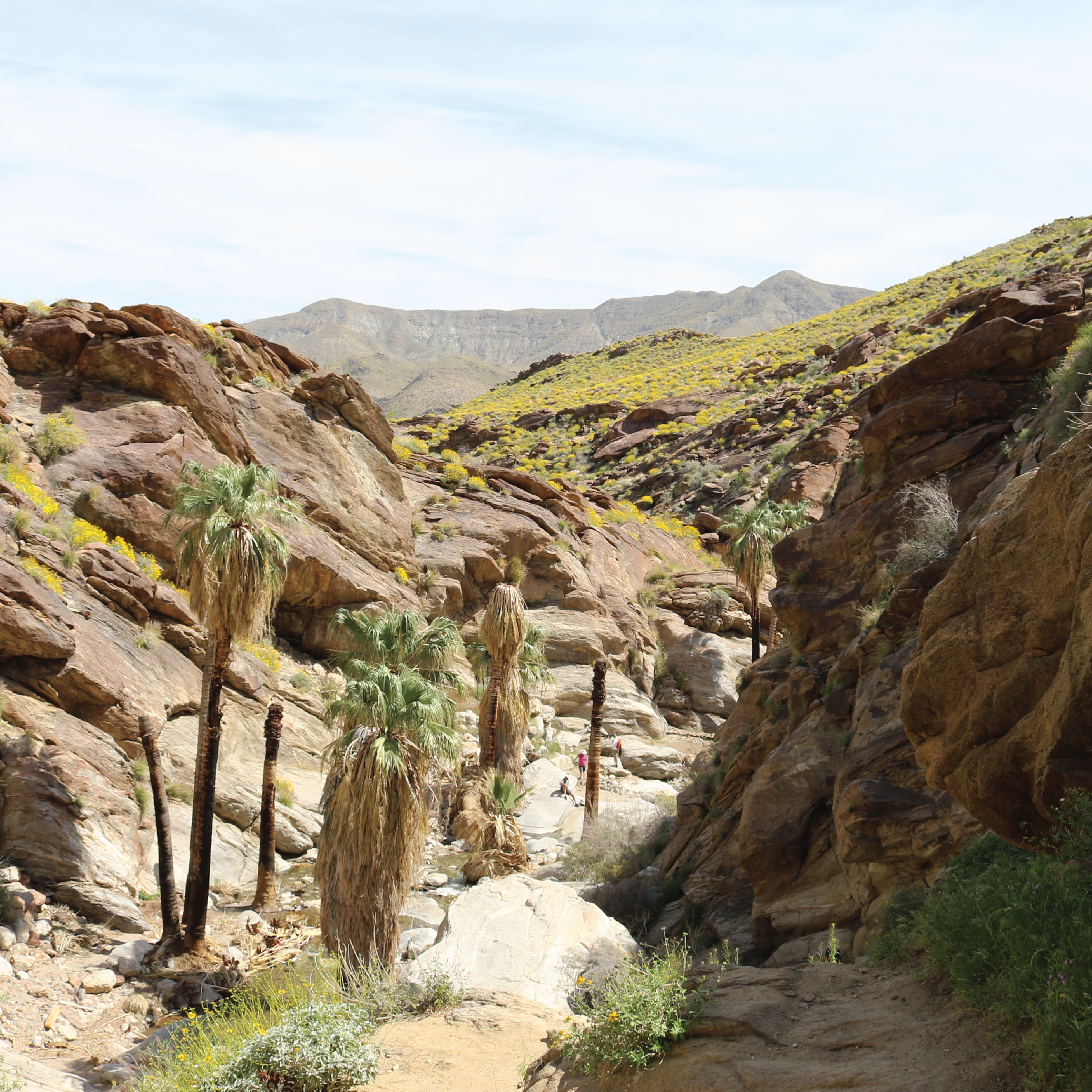
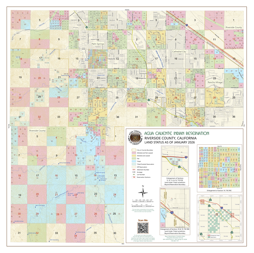
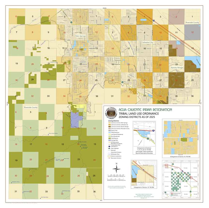
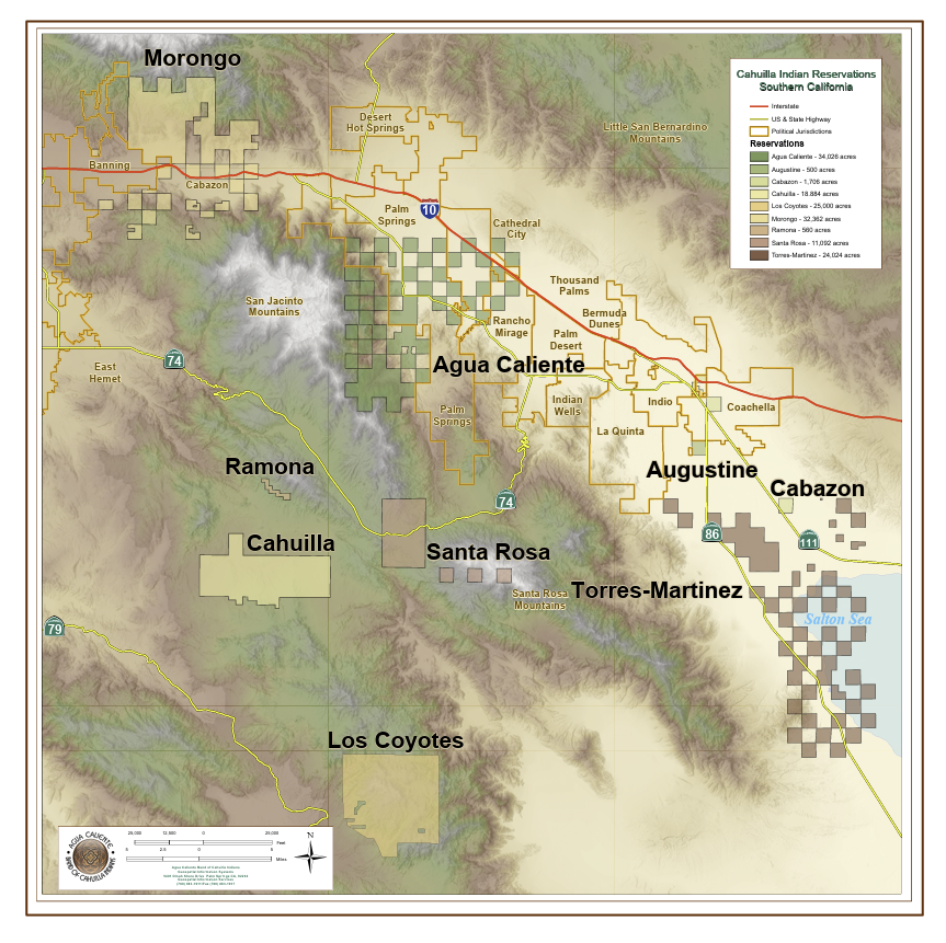
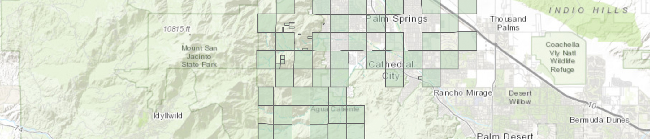
Agua Caliente Geospatial Information Services (GIS) provides support to all Tribal government departments. Since the Tribe's opening of the GIS department more than 20 years ago, it has become an integral tool in managing Agua Caliente Indian Reservation land holdings and protecting Tribal resources. In addition to providing maps, the department maintains an extensive database of current and historic spatial data that is used for analysis and decision-making purposes by the Tribal government.
Beckie Howell, GISP
Director of GIS
Phone: 760-883-1911
Email: bhowell@aguacaliente-nsn.gov
Copyright - Agua Caliente Band of Cahuilla Indians